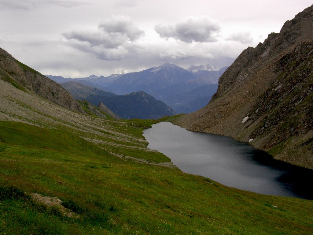
This lake is a favorite destination for ~9-hour hikes around the house in Courmayeur. In this satellite shot, you see the lake right in the middle. I took my picture from roughly the NW, halfway up the ridge. That's about 150 m above the lake. A couple weeks later, BTORB and I walked a round trip from Courmayeur, which is visible WSW over the ridge in the satphoto. That trip didn't yield good pictures of this lake, though. Instead we got caught in snow where the clouds cover the satellite picture. I'll share those soon.
The white stuff in this picture on the north-facing slope is ice though this was taken in July. Those clouds in the distance had relatives near me that produced painful hail.
If you zoom back a couple clicks at the Googlemaps photo, the Massif du Mont Blanc will come into view and dominate the NW part of the image. Zoom out once more and S of the lake at bottom you'll see a round glacier. That's the Ruitor and I'll show it to you tomorrow night if I don't get swamped with requests for babes in unvarying stages of nudity.


No comments:
Post a Comment